
The Iberia Parish Office of Homeland Security & Emergency Preparedness (OHSEP) is closely monitoring a strong cold front expected to move through our region this Saturday, according to the National Weather Service in Lake Charles. Temperatures are forecast to fall to or just below freezing by Sunday morning. As the front passes, lingering moisture may briefly transition into light snow or a rain-snow mix early Sunday, though the chance of this occurring is low—around 18%. Any frozen precipitation that does develop is not expected to accumulate, as temperatures should rise above freezing by 8:00 AM Sunday, causing it to melt quickly.
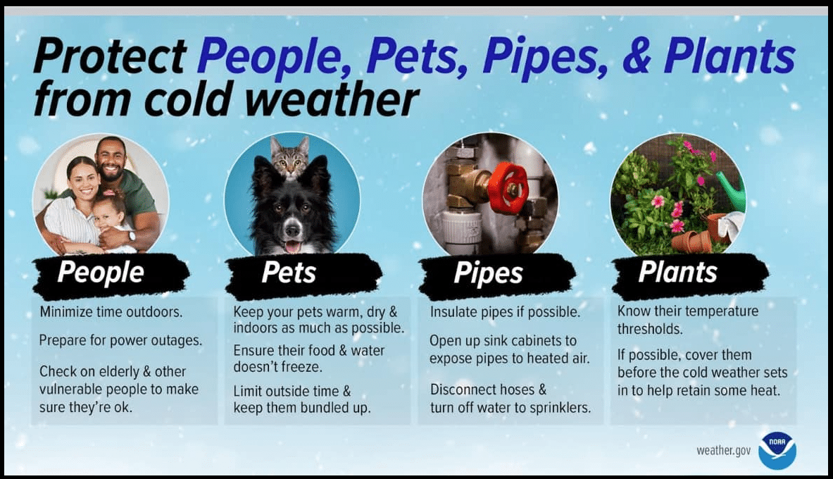
This system is not expected to mirror the historic snow event experienced last January, and minimal impacts to local infrastructure are anticipated. However, residents are encouraged to stay weather-aware as conditions evolve. Please continue to monitor local weather outlets for real-time updates, use caution on the roads early Sunday morning if moisture is present, and remember to protect the four P’s—People, Pets, Plants, and Pipes—as temperatures dip below the freezing mark. OHSEP will continue to monitor the situation and provide updates as necessary.
National Weather Service Lake Charles
NWS Lake Charles Facebook Page
For more information contact: Brandon Migues
Recent News
Red Flag Warning: South-Central Louisiana, including Iberia Parish
From Iberia Parish President M. Larry Richard The National Weather Service (NWS) Lake Charles has issued a Red Flag Warning[...]
Iberia Parish Weather Briefing Summary
From Iberia Parish President M. Larry Richard Iberia Parish Weather Briefing Summary Source: National Weather Service – Lake[...]